


Multi-Level Architecture

Search at every scale.

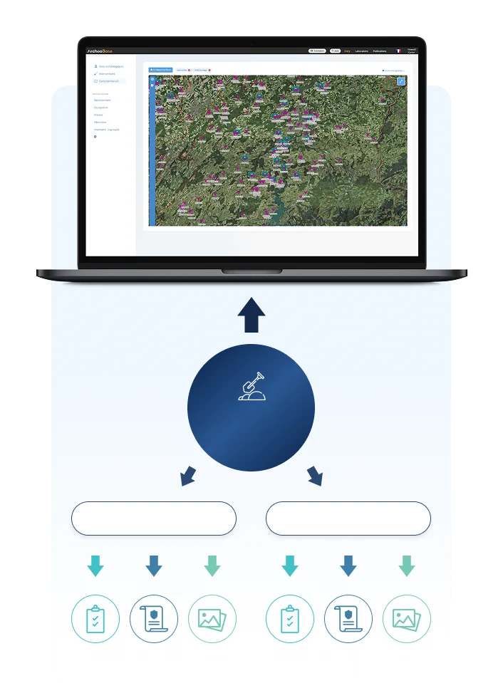
From one find to a region-wide overview: ArcheoBase organizes data in three nested levels (intervention, archaeological site, territory), so information entered once in the field can be searched at any scale.

Three nested levels, zero re-entry

Data is captured once, at the source, and rolls up automatically. Nothing is copied, re-typed, or synchronized by hand.

Territory level 3

Every site and intervention of your organization, visualized on one regional map, with advanced filtering and deep search across the entire corpus.

Archaeological site level 2

All interventions conducted at the same location (across different years, teams, or phases) come together in a single unified environment for cross-campaign search and analysis.

Intervention level 1

Each excavation or field operation lives in its own environment, holding its form data, documents, and media. This is where data is born, recorded directly in the trench.

Queries that combine
space and attributes

At every level, spatial and attribute queries work together.

Filter by anything recorded

Period, material, type, excavation year: any field in any recording form is a search criterion, alone or in combination.

Filter by relationships

Query through the links between records: every unit associated with a given structure, every photo linked to a given find. The data model itself is searchable.

See it on the map

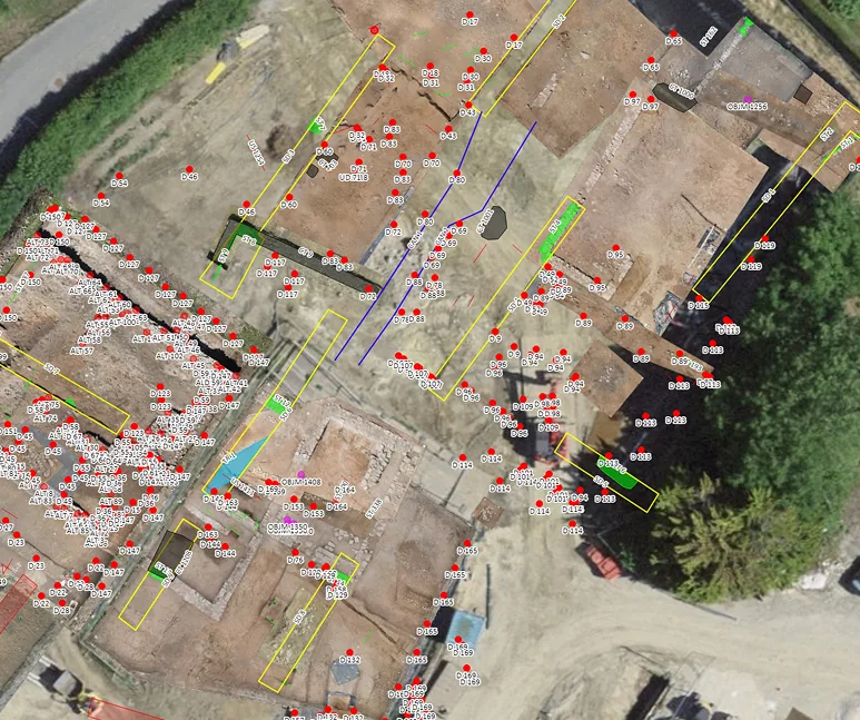
Results display spatially: on the excavation plan at intervention level, on the regional map at territory level.

Export what you find

Any result set exports to Excel for reports, statistics, or further analysis.

Across campaigns, across decades

Archaeological sites outlive excavation seasons, and even careers. The site level is built for that.

One site, every campaign

A site excavated in 1995, 2012, and 2026 is one search space, not three databases. Compare structures across phases, trace a sondage's history, find every burial regardless of which team recorded it.

Legacy data belongs

Existing datasets, including decades-old campaign records, can be imported and structured, joining current fieldwork in the same searchable environment.

Manage campaigns within an intervention

Every record can be tagged with the current campaign. The Campaign filter lets you switch easily from one campaign to another and pick up work directly from a previous campaign's data.

TESTIMONIAL
“
We now have a single platform to centralize information, whether it relates to archaeological remains, structures, objects, but also photos and excavation drawings, and all of it is centralized, synchronized.

Archaeologist, Operations Manager, Archeodunum Investigations Archéologiques SA, Switzerland

Read all testimonials
Romain Guichon

The territory level, for
every kind of organization

Your whole portfolio, one map

For commercial operators and research institutions working across one country or several, the territory level is the overview of everything: every project, every site, every campaign your organization has ever recorded, on one map, searchable as one corpus.

For state services: the territory is also the dashboard

Cantonal and state authorities gain integrated regulatory oversight on top: archaeological perimeters and zones with attribute management, building-permit pre-notification workflows, and AI-assisted risk mapping for strategic resource deployment.

Discover ArcheoBase for State Authorities
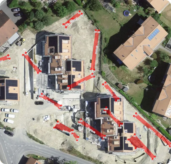
Aerial archaeological site map with georeferenced survey data

Ready to find anything,
at any scale?

Free calibration to your methodology.
Free field test. No commitment.

Book a Demo
ArcheoBase Field Trial