Plan-view Orthophotos
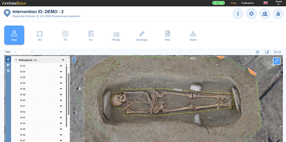
Plan-view orthophotos can be uploaded and displayed on the map. The upload of orthophotos is done through the Photos / Add tab. These plan-view orthophotos will be directly viewable on the map.
Section-view Orthophotos
The section line can be drawn on the map by clicking the icon  and selecting Line and points.
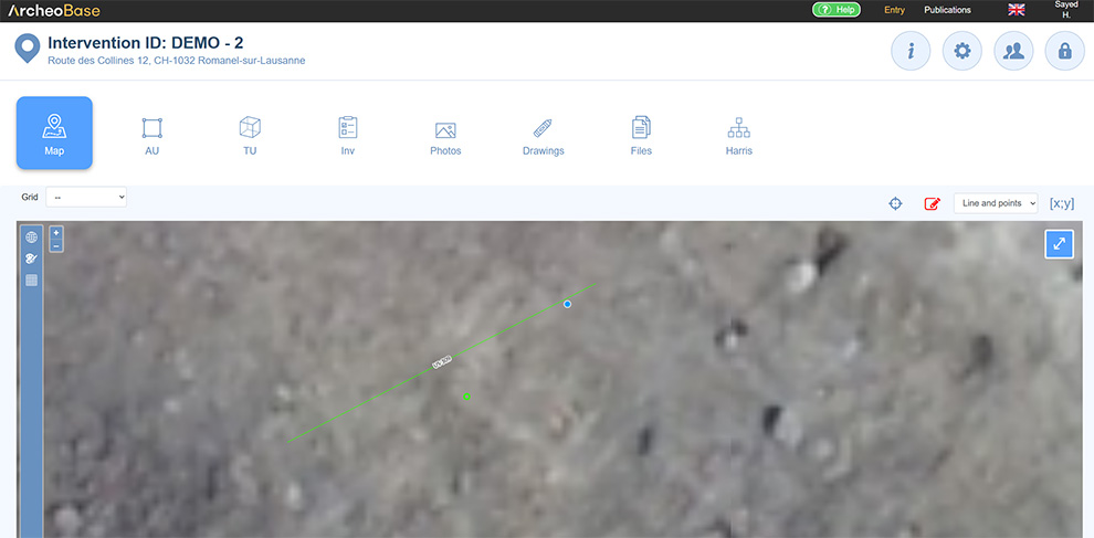
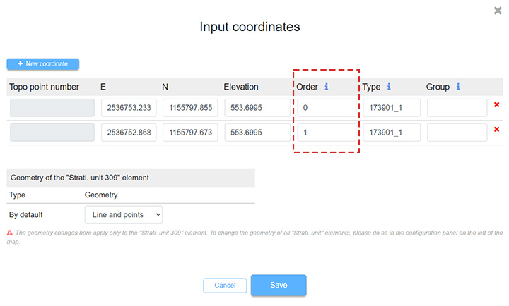
The point indicates the direction of excavation and viewing of the section. If it is on the wrong side, it can be flipped by changing the order of the coordinates in the form menu.
- In this case, the order of 1 in the first coordinate was replaced with 0 and the order of 0 in the second coordinate was replaced with 1.
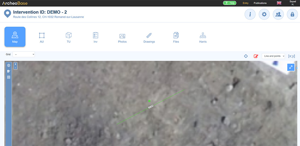
The section line can then be assigned to a new form if the stratigraphic section photo / orthophoto has not yet been uploaded through the Photos or Drawings tabs, or to an existing one if the upload has already been done.
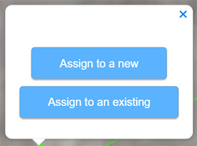
The photo / orthophoto is then visible within the form that contains the coordinates of the drawn geometry.
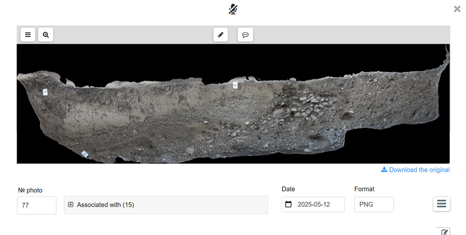
The section Orthophoto import procedure describes the steps to follow to upload orthophotos into Archeobase.
Orthophoto display order
The display order of orthophotos can be directly controlled in the left-hand panel. Orthophoto layers can be rearranged to define which images appear above or below others on the map, making it easier to compare different datasets or highlight specific phases of the excavation.
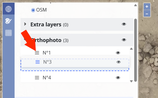
To change the order, simply use the drag-and-drop icon next to each orthophoto and move the layers into the desired position. The map display updates immediately to reflect the new layering.