A set of Longitude - Latitude coordinates represents a Topo Point.
- It is possible to assign a unique identifier to this Topo Point, called Topo Point No.
- This is optional and may prove useful depending on the method chosen to record points in the field.
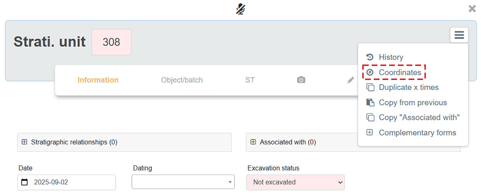
Topo Points can be generated in the field using the Coordinates tab of each form.
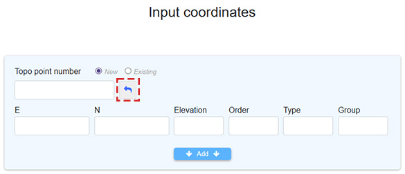
The icon  automatically generates the next available Topo Point number. Topo Points have a unique numbering across the entire excavation.
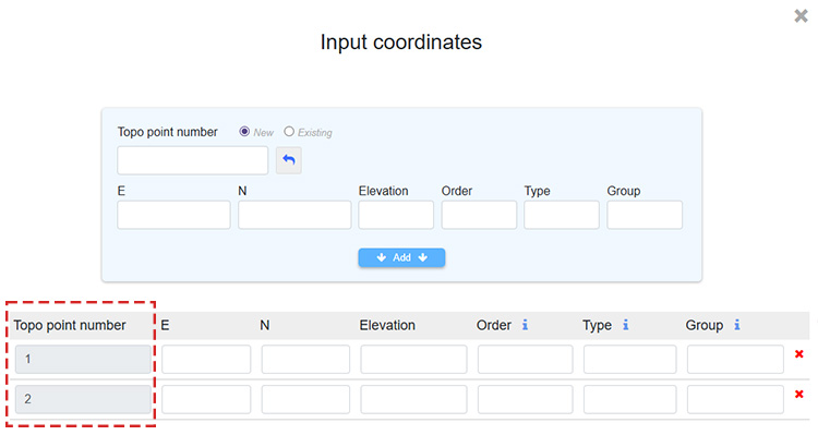
In this example, two Topo Points have been added to the form:
Coordinates can later be recorded with a theodolite which, for instance, generates an Excel file containing an identifier that matches the Topo Point No. mentioned above in ArcheoBase, along with the Longitude and Latitude.
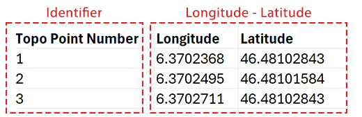
Importing the coordinates can finally be done using a Matching Procedure by Topo Point Number.